Etowah Indian Mounds

Etowah Indian Mounds (Google Maps)
Etowah Indian Mounds (Birds Eye)
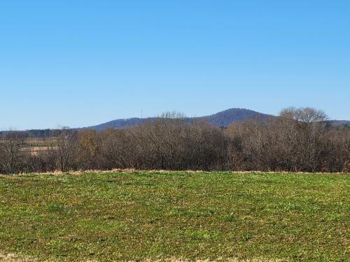
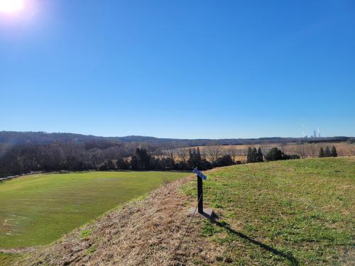
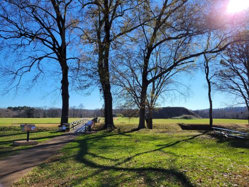
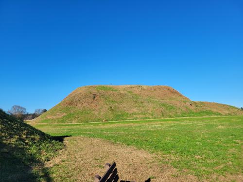
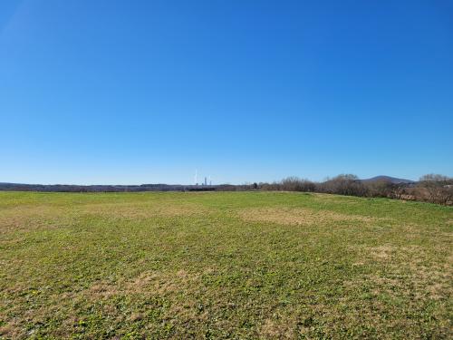
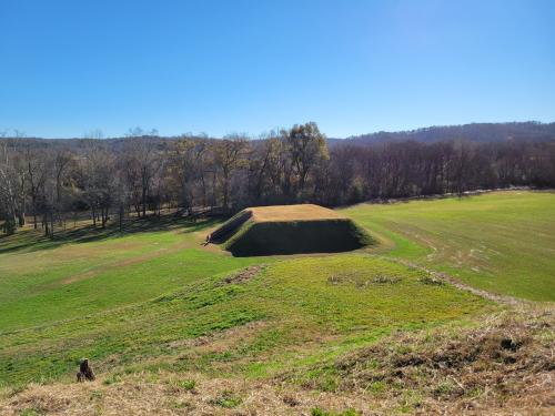
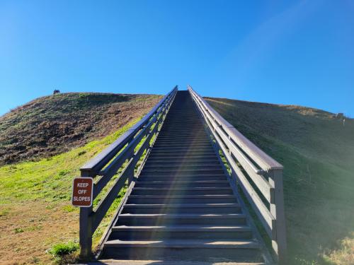
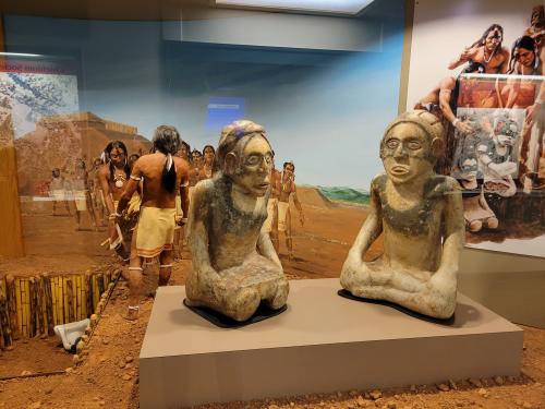
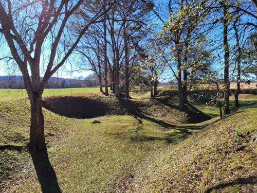
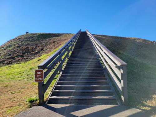
As the Mississippian Culture came to an end one of its last great cities was here near the juncture of the Etowah River and Pumpkinvine Creek at what today is called the Etowah Indian Mounds State Park. The 54 acre site includes 7 mounds, borrow pits, plaza, portions of the original village and a museum.
2,627 views
Views by date
10.0 (3 votes)
Rate as 1Rate as 2Rate as 3Rate as 4Rate as 5Rate as 6Rate as 7Rate as 8Rate as 9Rate as 10

Categories

Comments

Policies

Please log in if you don't want to post anonymously (anonymous users cannot post links).

Note: VirtualGlobetrotting is an entertainment website is and is not associated with this post, location or person.

Please enable images and enter code to post
Reload

Around the World Mailing List

Pics: 21
Etowah Indian Mounds : kkeps's pic
Share:

Comments

Policies

Please log in if you don't want to post anonymously (anonymous users cannot post links).

Note: VirtualGlobetrotting is an entertainment website is and is not associated with this post, location or person.

Please enable images and enter code to post
Reload