From www.floridasportsman.com:
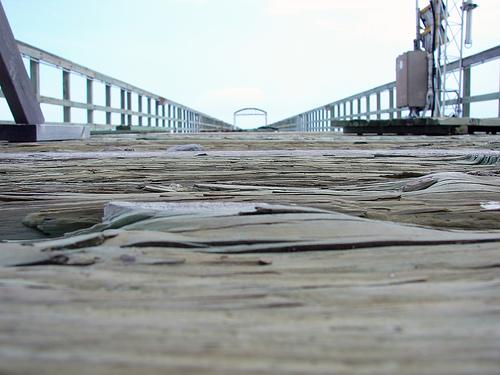
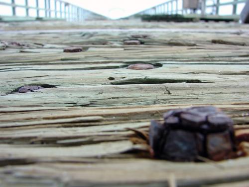
For half a century, anglers flocked to the Lake Worth pier for a rare, land-based opportunity to catch sailfish and other pelagic species, which the Gulf Stream current bring in. On every opening day of snook season, a line of anglers stood outside the chain link fence for hours before the pier opened. Cobia, African pompano and lots of pompano were routinely caught. And, a variety of snappers lurked near the pier pilings and nearshore reefs on the pier’s south side. The fish are still there, but the access isn’t. In 2004, Hurricane Frances destroyed the pier.
But after Frances destroyed the pier in 2004, Lake Worth Mayor Marc Drautz came to angling community’s rescue and fought to get federal funds to have the pier rebuilt. The new pier is currently under construction (off site), and will be assembled in May. As many as 400 people per day would fish from the pier on a weekend day, and local anglers can’t wait to wet a line from the new structure.
Lake Worth Pier (Showing Hurricane Frances Damage)
No Thumbnail
© Google Maps

© Bing Maps
By AlbinoFlea @ 2007-09-19 02:32:17