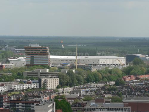
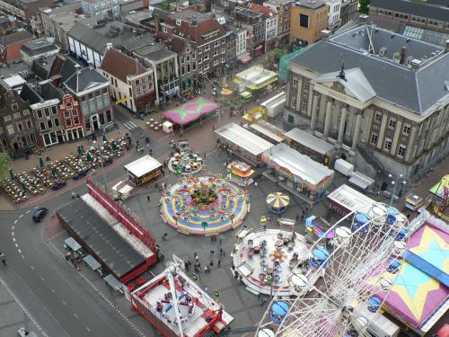
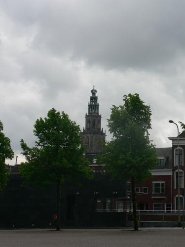
The Martinitoren (Martini Tower) is the highest church tower in the city of Groningen, The Netherlands. The tower, located at the north-western corner of the Grote Markt (Main Square), is part of the Martinikerk (Martini Church). The citizens of Groningen call their tower d'Olle Grieze, meaning the old grey one in the local dialect. It is considered one of the main tourist attractions of Groningen and offers a great view over the city and surrounding area. The front of the tower shows three pictures above the entrance: the blind man Bernlef, Saint Martinus and Rudolf Agricola. All three are men who are linked to the history of Groningen. According to reports the tower has a foundation only three meters deep.
Martinitoren

© Google Maps

© Bing Maps
By DonMartini @ 2006-09-14 14:10:51