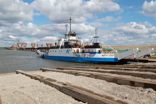
MV Merv Hardie at Ft. Providence, MacKenzie River, NWT. The Y shaped road just to the east is the winter ice road crossing location.


http://www.cbc.ca/news/canada/north/story/2012/12/01/north-deh-cho-bridge.html
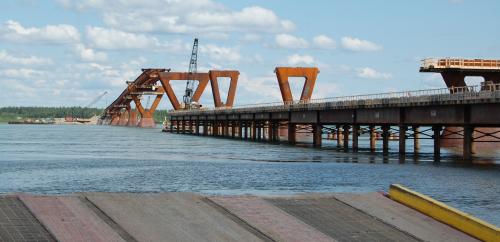
The un-used ferry is on the south side landing.
https://www.youtube.com/watch?v=2L4BD6g3cTI