Yerba Buena Gardens

Yerba Buena Gardens
Google Maps Google Maps Birds Eye Birds Eye Yahoo Maps Yahoo Maps
By: kjfitz @ 2011-03-08 16:38:00
map #112280
Description:
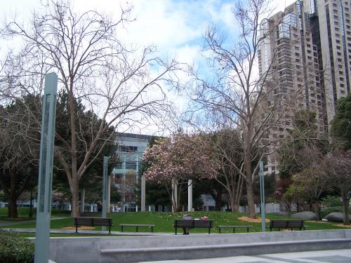
Yerba Buena Gardens is the name for two blocks of public parks located between Third and Fourth, Mission and Folsom Streets in downtown San Francisco, California. The first block bordered by Mission and Howard Streets was opened in 1993. The second block, between Howard and Folsom Streets was opened in 1998. A pedestrian bridge over Howard Street connects the two blocks, sitting on top of part of the Moscone Center convention center. The Yerba Buena Gardens are owned by the San Francisco Redevelopment Agency and were planned and built as the centerpiece of the Yerba Buena Redevelopment Area.
More Info:en.wikipedia.org
Location: San Francisco, California (CA), US
@ 37.78502691, -122.40258914
Views:
199
Views by date
Rating: Rate as 1 Rate as 2 Rate as 3 Rate as 4 Rate as 5 Rate as 6 Rate as 7 Rate as 8 Rate as 9 Rate as 10 Unrated

Categories

Download

Pics: (1)
Nearby Maps (50 km): (2,697)

2,685 more...
Save & Tell
+ My Favorites Email This Map
Share
Your Pics Your Story
Update Thumbnails
Google Google Bing Bing Yahoo Yahoo


Post a Comment: (Policies)

Please log in if you don't want to post anonymously (anonymous users cannot post links)

Your Name: Anonymous
Comment:
Anti-Spam Code:Please enter the code below: