Ten days after closing the border on August 13, 1961 tourists from abroad, diplomats and the military personnel of the Western Powers were only allowed to enter East Berlin via the crossing point at Berlin Friedrichstrasse.
Soon the US military police opened the third checkpoint at Friedrichstrasse. The other two checkpoints were Helmstedt at the West German-East German border and Dreilinden at the West Berlin and East Germany border. Based on the phonetic alphabet the Helmstedt checkpoint was called Alpha, Dreilinden Checkpoint Bravo and the checkpoint at Friedrichstrasse got the name Charlie.
The main function of the checkpoint was to register and inform members of the Western Military Forces before entering East Berlin. Foreign tourists were also informed but not checked in the West.
The German authorities in West and East Berlin were not allowed to check any members of the Allied Military Forces in Berlin and in Germany.
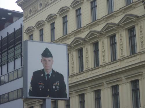
Checkpoint Charlie

© Google Maps
© Bing Maps
By DonMartini @ 2006-01-04 16:11:10