Sitting in the garden of a house stands a monument. This monument was erected in to mark the intersection where two important Roman roads met, the Fosse Way and Watling Street.
The Fosse Way had a total length of 230 miles (370 km). At High Cross, known to the Romans as Venonis, was the intersection between the two roads. Watling Street had a total length of 276 miles (444 km).
Much of the Fosse Way is walkable today and many sections are also now used and followed by modern roads. Watling Street is also followed and used by modern roads.
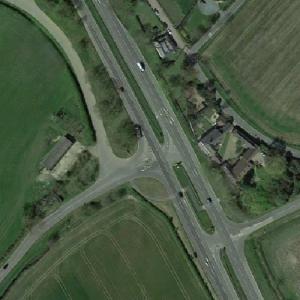
In modern times, the intersection of Watling Street is now a dual carriageway section of the A5, the southern part of the Fosse Way is a B road, and the northern route of the Fosse Way is now a track which is a part of a long-distance path called the Leicestershire Round.
Crossing Point of the Fosse Way and Watling Street
© Google Maps
No Thumbnail
© Bing Maps
By Drudii @ 2018-01-23 15:55:14
