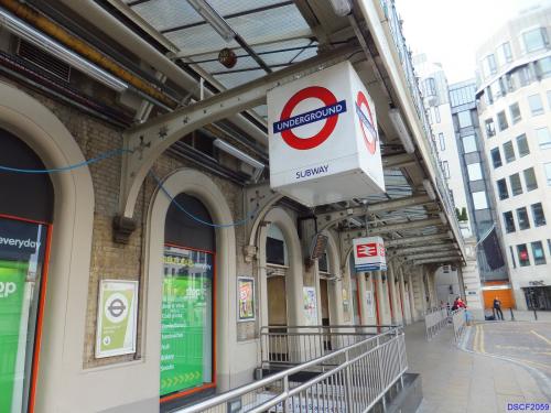
Charing Cross railway station in London.
Charing Cross was opened in 1864 and was the product of the Southern Eastern Railway's need to extend westward from London Bridge to get its passengers from Kent right into the heart of London.
Charing Cross Station

© Google Maps

© Bing Maps
By johninc @ 2005-07-13 13:47:39


Anonymous
@ 2005-07-13 18:42:10
This is Embankment Station I was just in London and this is Embankment Station.
Anonymous
@ 2005-07-13 18:43:33
Uhhh oops nvm I just checked your photo and it looks exactly like what I thought was embankment..... Embankment must just be the Underground Station.

chaswatson
@ 2015-04-05 12:53:45
Embankment station is the London Underground station that serves Charing Cross mainline station. Embankment station is just to the north of the rail bridge next to the (erm) embankment of the River Thames.