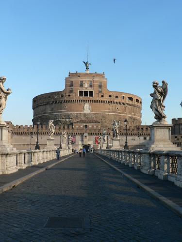
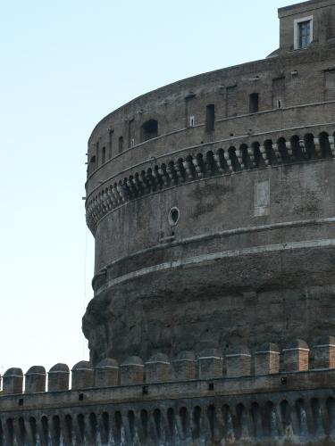
The emperor Hadrian had this castle built between the years 130 and 139, as a tomb for himself and his family. Over the centuries it underwent various transformations and served as fortress, prison, barracks, and museum.
Now it appears closed within a square block of defensive walls with angular towers named for the saints Mathew, Mark, Luke, and John.
The tower of Benedict IX, in the XI century, and the pontifical apartments, during the Renaissance, were superimposed onto the cyclindrical construction of the Roman epoch . (giroscopio.com)
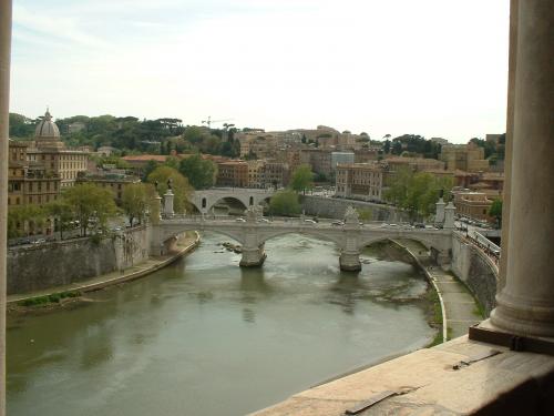
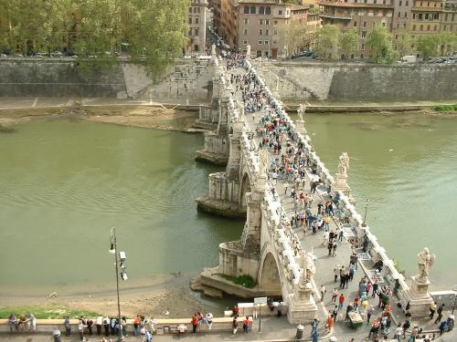
Castel San Angelo

© Google Maps

© Bing Maps
By kjfitz @ 2005-06-24 12:40:36