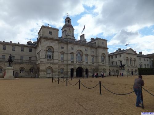
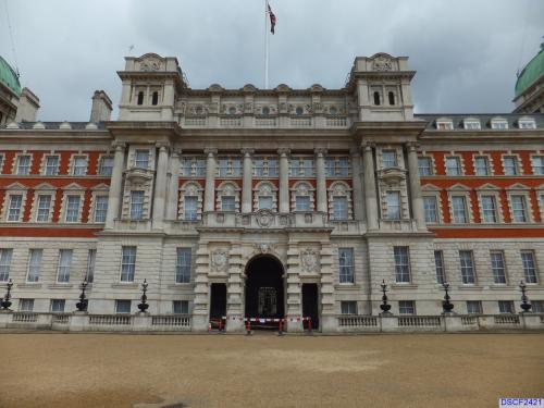
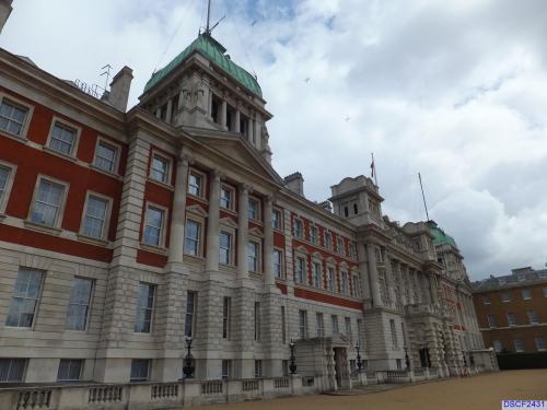
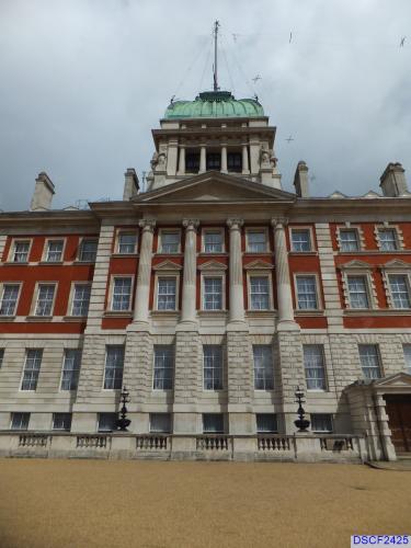
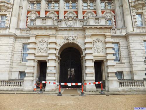
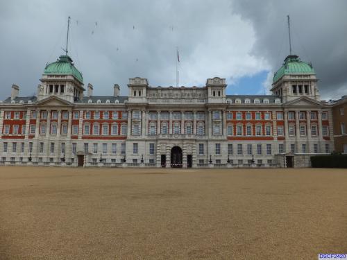
The Horse Guards, a finely proportioned building with a handsome clock tower designed by William Kent (1753), occupies the site of a guard house belonging to the old Palace of Whitehall. It is now occupied by government offices; on the north side of the parade ground is the Admiralty building.
The Household Cavalry consists of two separate regiments, the Life Guards, who wear scarlet tunics and white plumed helmets, and the Blues and Royals, who wear blue tunics and red plumed helmets. The Life Guards originated as a cavalry unit which formed Charles I's bodyguard during the Civil War, the Blues and Royals (formerly the Royal Horse Guards) as a troop of Cromwellian cavalry.
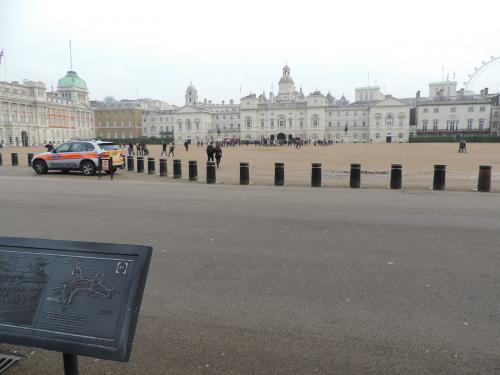
The headquarters of the Household Cavalry are in Hyde Park Barracks, Knightsbridge, some 2.5km/1.5mi from Whitehall. The new guard, riding daily to Horse Guards, passes Buckingham Palace. The changing of the guard and the Sunday parade are among London's greatest tourist attractions.
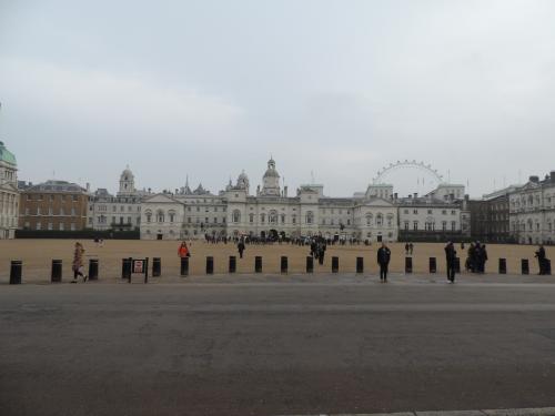
In June every year, on the Queen's official birthday, the parade ground behind the Horse Guards is the scene of a colorful military spectacle, Trooping the Color.
Horse Guards
No Thumbnail
© Google Maps

© Bing Maps
By adrbr @ 2008-03-07 17:51:26