
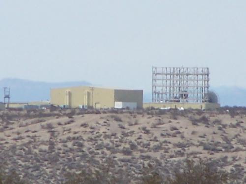
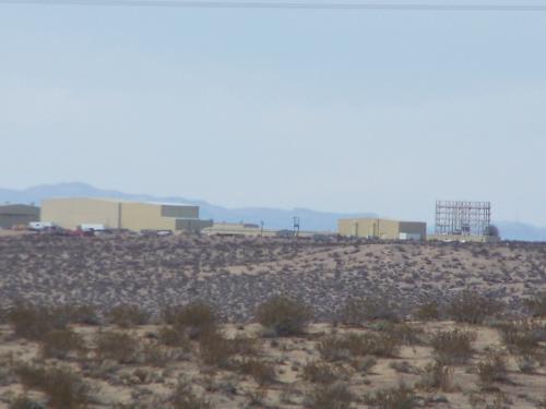
The Helendale Radar Cross Section Facility is an aircraft research facility developed and operated by the Lockheed Martin Corporation. It is a secretive test range developed at an old WWII training field, used to measure the radar reflectivity of stealth aircraft designs. There are assembly facilities located underneath the old runway, and prototypical forms tested outside on the range are mounted on hydraulic pylons that rise out of the ground through doors in the runway surface. The facility is one of at least three Radar Cross-Section facilities owned by the major aerospace companies and located in the Antelope Valley area. It is at facilities such as this where stealth technologies, like the F-117 and B-2, and Joint Strike Fighter are developed.

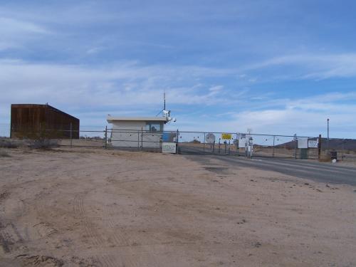

The Lockheed facility is adjacent to what used to be the Hellendale auxiliary airport, six miles to the north of Hellendale, California. This installation also has the "runway" features of Tejon Ranch but also has a visible underground entrance.
The Lockheed facility is known as the RCS (Radar Cross-Section) Test Range but is more widely identified as the "Hellendale facility".
Signs at the perimeter fence of this installation read:
TRESPASSING-LOITERING FORBIDDEN BY LAW. TRESPASSERS ARE SUBJECT TO PROSECUTION. PRIVATE PROPERTY-NO TRESPASS. LOCKHEED CORP.
http://virtualglobetrotting.com/map/22955/