Martin Luther King, Jr. Regional Shoreline Park

Martin Luther King, Jr. Regional Shoreline Park
Google Maps Google Maps Bing Maps Bing Maps Yahoo Maps Yahoo Maps
By: kjfitz @ 2006-01-24 22:48:04
map #13601
Description:
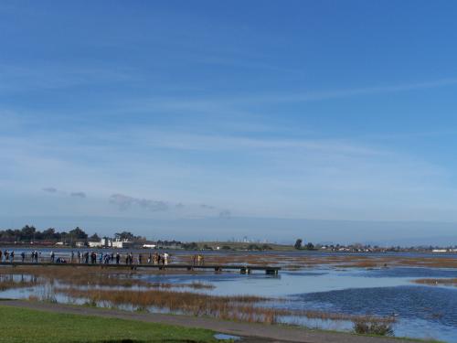
The Martin Luther King, Jr. Regional Shoreline Park and San Leandro Bay provide vital habitat to thousands of birds. The park's wetland complex—which includes Arrowhead Marsh and a successfully restored 72-acre wetland—hosts some of the most significant populations of shorebirds and waterfowl in the central bay. More than 90 bird species inhabit this area, including the federally endangered California Clapper Rail, a bird found only in San Francisco Bay salt marshes. Endangered California Least Terns and Brown Pelicans also feed in the waters around the site.

Pictures
More Info:www.goldengateaudubon.org
Location: San Leandro, California (CA), US
@ 37.74169600, -122.21004700
Views:
475
Views by date
Rating: Rate as 1 Rate as 2 Rate as 3 Rate as 4 Rate as 5 Rate as 6 Rate as 7 Rate as 8 Rate as 9 Rate as 10 10.0 (1 votes)

Categories

Download

Pics: (3)
Nearby Maps (50 km): (2,954)

2,942 more...
Save & Tell
+ My Favorites Email This Map
Share
Your Pics Your Story
Update Thumbnails
Google Google Bing Bing Yahoo Yahoo


Post a Comment: (Policies)

Please log in if you don't want to post anonymously (anonymous users cannot post links)

Your Name: Anonymous
Comment:
Anti-Spam Code:Please enter the code below: